
Objective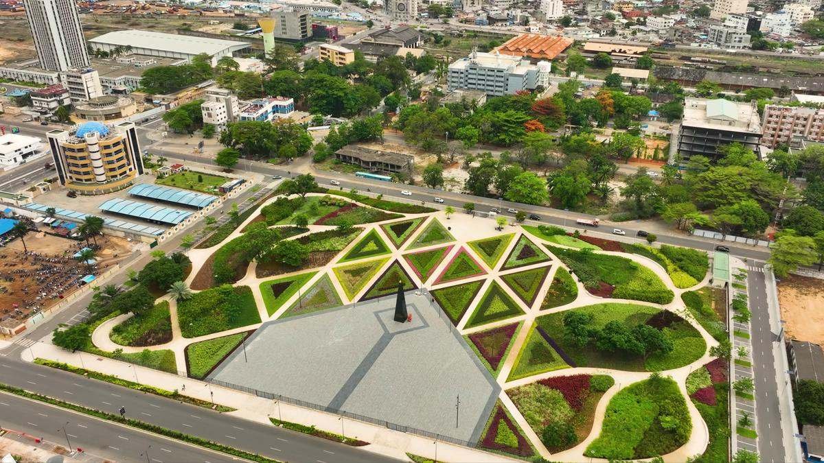 Typical use cases
Mapping
Georeferenced orthomosaic and DTM/DSM of a site
A georeferenced drone image mosaic (orthophoto) and a digital terrain model, ready for your GIS or CAD software. Ideal for layout plans, construction monitoring and urban planning.
Layout plans and permitsConstruction monitoringSubdivisions and urban planningSite baseline
DeliverablesGeoTIFF orthophotoDTM / DSMDXF contour linesPoint cloud